East-Cambridgeshire-Park
A roughly 2.6-hectare green space in Kempen – the town's second-largest park – whose name recalls the twinning with the English district of East Cambridgeshire, in place since 1978.
The East-Cambridgeshire-Park is a green space in Kempen on the Lower Rhine. Its name recalls the town's English partner region and makes the town twinning, in place since 1978, visible in the townscape.
At a glance
- Type
- Public green space (recorded in OpenStreetMap as a park,
leisure=park) - Size
- around 2.6 hectares – the second-largest park in Kempen
- Address
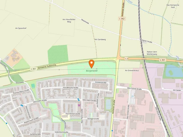
- Marie-Juchacz-Straße 11B, 47906 Kempen
- Named after
- the English district of East Cambridgeshire (Ely), Kempen's partner region
- Town twinning since
- 1978
The park
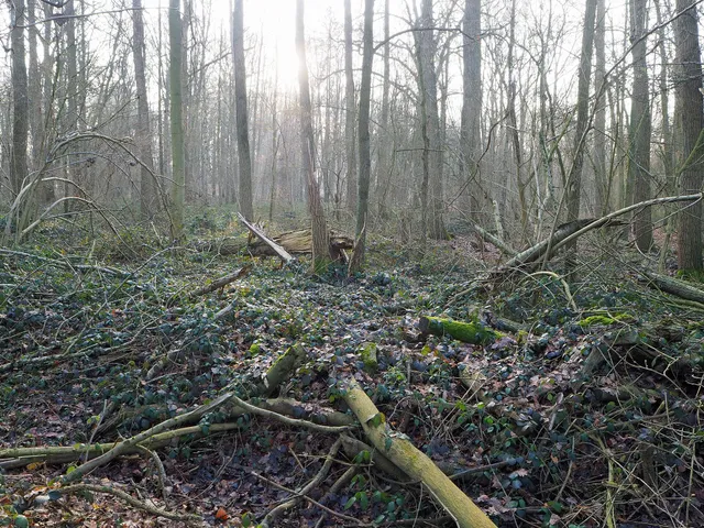
The East-Cambridgeshire-Park is an open green space with old trees. Photos taken on site show tall, mature trees and broad lawns, along with a striking weeping willow and an avenue of trees. A paved path lined with benches runs through the grounds, alongside narrower, earthen paths beneath deciduous trees. At its centre lies a quiet body of water with a small pavilion beside it; winter images show the pond partly frozen and the grounds covered in snow. Across the seasons the park thus appears sun-drenched and green, autumnal, or snow-covered.
The partner district of East Cambridgeshire
The park is named after the East Cambridgeshire District, with the town of Ely at its centre, in England. The district belongs to Cambridgeshire, lying around 30 km from Cambridge and about 100 km north-east of London. Some 63,000 people live across an area of roughly 65 km². Local sights include the town of Ely with its cathedral, a harbour and riverside promenade, Oliver Cromwell's House, the moorland known as „the fens", and nearby Cambridge.
The twinning charter was signed on 2 September 1978. Past exchanges included student and sports exchanges as well as collaboration between artists from the twin towns; at present there are no joint activities. The park nonetheless keeps this connection permanently visible in Kempen's townscape.
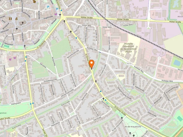
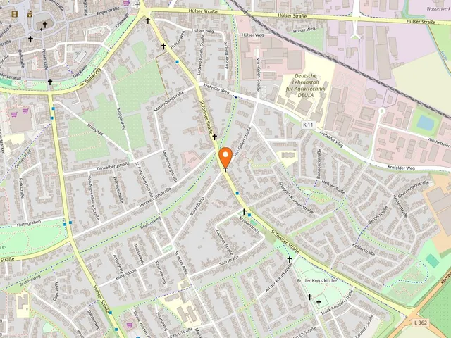
Map
Blue dots: other places nearby — tap to explore.
Address
Marie-Juchacz-Straße 11B
47906 Kempen
Hours
So: 00:00–24:00
You might also like — related or nearby
Comments
- Loading comments…
Sources & links
- openstreetmap.org (retrieved 2026-07-06)
- kempen.de (retrieved 2026-07-23)
Auto-generated, last verified: 2026-07-23
How this page is made
This page draws on open sources — Wikipedia, Wikidata, official websites and the city’s open data. Every statement is checked against the sources linked here, and pages are refreshed regularly.
Spotted a mistake anyway? Tell us below — we read every submission.