Landwehr
Near Hinterorbroich in Kempen's St. Hubert district, a section of a medieval Landwehr from around 1350 has survived — a protected archaeological monument and one of the last remnants of the former border fortification of the Electoral-Cologne district of Kempen.
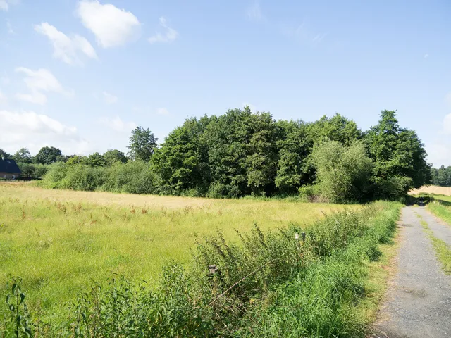
North of Hinterorbroich in the St. Hubert district lies an inconspicuous yet history-laden archaeological monument: the last surviving section of a former Landwehr, a border fortification built around 1350. Out in the landscape, the old rampart-and-ditch structure can still be made out.
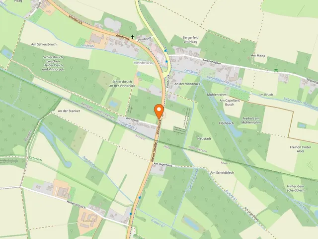
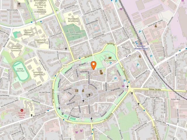
Source: openstreetmap.org
At a Glance
- What
- Section of a medieval Landwehr (border fortification)
- Built
- around 1350
- Location
- Near Hinterorbroich, St. Hubert district, 47906 Kempen
- Status
- Official archaeological monument of the town of Kempen (No. 5, Part B of the monument register)
- Protected since
- 6 October 1992
- Surviving
- only a small stretch; the rest of the course has been levelled
History
The Landwehr once marked the northern boundary of the Electoral-Cologne district of Kempen. It ran from the Eschel marshes in the west to Orbroich in the east. Over the centuries the vast majority of the structure was levelled — only near Hinterorbroich did a short section remain preserved in the ground, and today it enjoys monument protection.
Construction and Purpose
Landwehren were typical medieval border fortifications: a system of several ditches and ramparts, often three ditches and two banks, with the central ditch originally around two metres deep. Densely trimmed beech hedges grew atop the ramparts, forming a barrier all but impassable to riders. The structure did more than separate territories — it deliberately funnelled travellers and wagons toward guarded barriers and toll stations. At the same time it protected the fields from robbers and kept livestock from straying onto neighbouring farmland.
Map
Blue dots: other places nearby — tap to explore.
You might also like — related or nearby
Comments
- Loading comments…
How this page is made
This page draws on open sources — Wikipedia, Wikidata, official websites and the city’s open data. Every statement is checked against the sources linked here, and pages are refreshed regularly.
Spotted a mistake anyway? Tell us below — we read every submission.