Toutonenstein
Roman boundary stone from the Greinberg ring wall near Miltenberg, its fragmentary Latin inscription still puzzling scholars today.
The Toutonenstein is a Roman boundary stone belonging to the Greinberg ring wall near Miltenberg. It is dated to a period ranging from the mid-2nd to the mid-3rd century.
At a Glance
- Type
- Ancient Roman boundary stone
- Origin
- Greinberg ring wall near Miltenberg
- Material
- Red sandstone from the Miltenberg area
- Dimensions
- 4.75 × 0.50 m
- Shape
- Square base tapering toward the top, round cross-section with a dome-shaped tip
- Inscription
- Six lines in Roman capital letters
- Location today
- Miltenberg Town and Local History Museum
Discovery
In the winter of 1877/78, on the summit of the Greinberg, south of the sanctuary and outside the ring walls, a woodworker came across the sandstone stele, partly covered by forest soil and broken into two pieces. It lay exactly where it had once been quarried from the rock. The worker reported the find in spring 1878 to Wilhelm Conrady, the official in charge of the Limes, who examined the object and its find-spot and published his findings. Initially, the stele was placed in the courtyard of Mildenburg Castle.
Inscription and Form
The stone rests on a square base, narrows toward the top, and has a round cross-section topped by a dome-shaped tip. About halfway up its height is a six-line inscription in Roman capitals, roughly chiseled with a pointed tool and seemingly the work of an unskilled hand. The letters range from 12 to 22 cm in height. Only the first two lines are fully executed; researchers regard lines 3 through 6 as unfinished fragments consisting of initials.
Interpretation and Dating
This unfinished state has sparked numerous attempts at explanation. The initials have been discussed as abbreviations for individual words, names, or entire phrases from a line of text. The theory that one character in the sixth line represents a bind rune is rejected, since no rune inscriptions on stone are known from the European mainland. The letterforms do not allow for a precise dating of the stone; most scholars place it between the forward relocation of the Neckar-Odenwald Limes around 159 AD and the Alemannic invasions around 260 AD.
Map
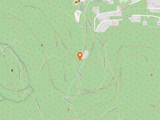
Blue dots: other places nearby — tap to explore.
Address
Mainstraße
63897 Miltenberg
Hours
So: 00:00–24:00
You might also like — related or nearby

Comments
- Loading comments…
Sources & links
- Official website
- Official website (retrieved 2026-07-23)
- Wikidata (retrieved 2026-07-13)
- Wikipedia (retrieved 2026-07-13, rev 264276692)
Auto-generated, last verified: 2026-07-13
How this page is made
This page draws on open sources — Wikipedia, Wikidata, official websites and the city’s open data. Every statement is checked against the sources linked here, and pages are refreshed regularly.
Spotted a mistake anyway? Tell us below — we read every submission.