Incorporation of Breitendiel
A memorial plaque in Miltenberg's Breitendiel district commemorates the incorporation of the former church village into the town of Miltenberg on 1 January 1971.
In the Breitendiel district, a plaque marks a date from the village's more recent history: the merger of the once-independent municipality with the district town of Miltenberg. Visitors to the village on the left bank of the Mud thus find a small place of remembrance recalling the local government reorganisation in the district.
Source: Wikipedia
At a Glance
- What
- Memorial plaque marking Breitendiel's incorporation
- Event
- Merger with the town of Miltenberg
- Date
- 1 January 1971
- Lead-up
- Referendum in November 1970
- Approval
- 88 percent of eligible residents
- Location
- Church village on the left bank of the Mud
Occasion: The 1971 Incorporation
The plaque records that Breitendiel gave up its municipal independence and became part of the district town of Miltenberg.
This was preceded by a referendum in November 1970: 88 percent of eligible residents voted in favour of an early merger with Miltenberg.
The incorporation of the municipality of Breitendiel took effect on 1 January 1971 – the date at the heart of this place of remembrance.
History of the Village
Breitendiel looks back on an older winegrowing tradition. As late as the end of the 19th century, wine was cultivated east of the Mud, in the now-forested field areas of Oberer Mühlrain, Im Esel and Lochwingert.
This Breitendiel wine bore the nickname "Esel" (donkey), which survives today in one of the field names.
Another change came shortly before the incorporation: in the late 1960s a bypass of the Bundesstraße 469 was built.
Location and Surroundings
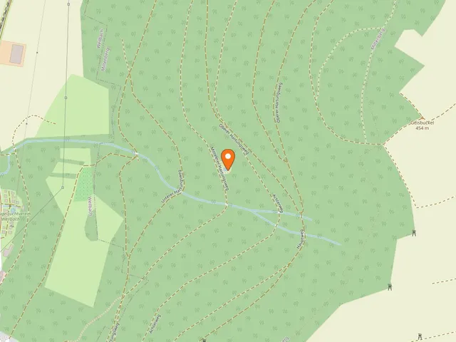
The church village lies on the left bank of the Mud at 133 m above sea level. The Bundesstraße 469 from Kleinheubach to Weilbach runs through the village.
To the west rises the Bullauer Berg with the village of Mainbullau; to the east, beyond the Geißbuckel, lies the village of Monbrunn.
The Madonnenlandbahn railway also passes through Breitendiel, giving the district a rail connection as well.
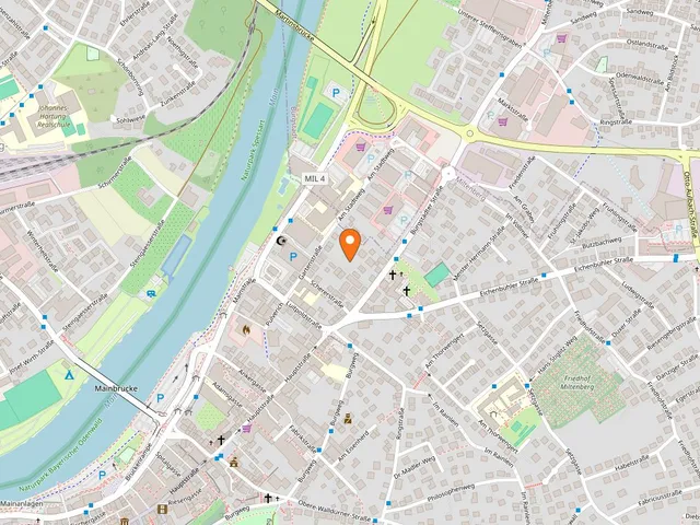
Map
Blue dots: other places nearby — tap to explore.
You might also like — related or nearby

Comments
- Loading comments…
Sources & links
- openstreetmap.org (retrieved 2026-07-13)
- Wikipedia (retrieved 2026-07-30)
Auto-generated, last verified: 2026-07-30
How this page is made
This page draws on open sources — Wikipedia, Wikidata, official websites and the city’s open data. Every statement is checked against the sources linked here, and pages are refreshed regularly.
Spotted a mistake anyway? Tell us below — we read every submission.