Nette (Niers)
Small river in the Lower Rhine region that lent its name to the Maas-Schwalm-Nette Nature Park and the town of Nettetal before joining the Niers.
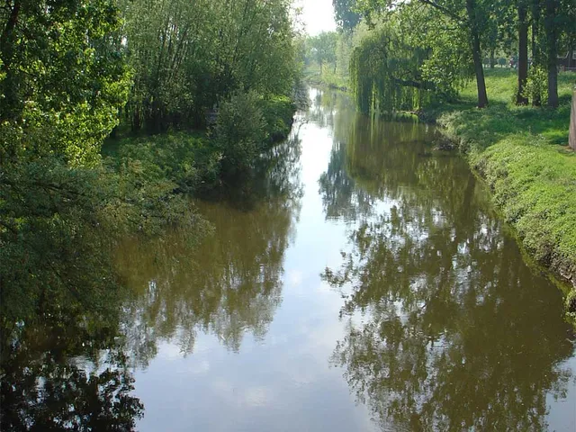
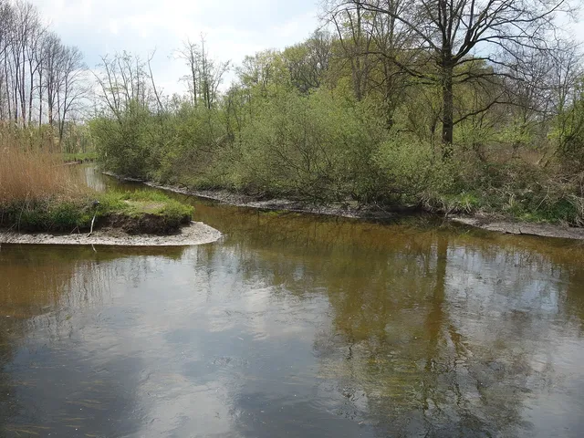
The Nette is a roughly 28-kilometre stream in the Lower Rhine region that begins without a true source and flows into the Niers north of Wachtendonk.
Source: Wikipedia
At a Glance
- Type
- small river in the Lower Rhine region
- Length
- about 28 kilometres
- Catchment area
- about 165 square kilometres
- Flow speed
- low
- Confluence
- joins the Niers north of Wachtendonk
- Namesake of
- Maas-Schwalm-Nette Nature Park and the town of Nettetal
Course and Tributaries
The Nette rises in Dülken and flows past Boisheim before passing through several Nette lakes near Lobberich and Breyell as well as the Krickenbeck Lakes, continuing on towards Wachtendonk. Its tributaries include the Mühlenbach near Breyell, the Pletschbach south of Lobberich, the Luidbach in Lobberich, the Königsbach from Kaldenkirchen, and the Renne.
A Source Without a Spring
Strictly speaking, the Nette has no proper spring. Between Boisheimer Straße and the street Röhlenend in Dülken, the original course can still be traced in the landscape, though actual water flow only begins a few hundred metres further on (as of April 2017).
Name and Naming
The river was first documented as "die Nette" in 1322, a name likely derived from the Proto-Germanic *nat-a ("wet"). The town of Nettetal, formed in 1970 during a territorial reform from Lobberich, Breyell, Hinsbeck, Leuth, and Kaldenkirchen, also takes its name from the river.
Management and Programmes
The Netteverband, based in Leuth, regulates water flow—including flood management—and oversees renaturation and maintenance work. In 2009, at the suggestion of the Düsseldorf district government, it took over coordination of the Nette planning unit as part of the state's "Living Waters" programme, drawing up implementation roadmaps by March 2012 to put the EU Water Framework Directive's measures into practice.
Good to Know
The Garzweiler lignite mine's extensive groundwater pumping has affected conditions along the Nette. During the severe heat and drought of summer 2018, water levels dropped sharply, and inspectors uncovered several illegal water withdrawal points. By late July/early August 2018 the river had dried up near Wachtendonk, prompting a rescue operation to relocate surviving fish to the nearby Niers. Since autumn 2024, the Nette wastewater treatment plant west of Lobberich and north of Breyell has been undergoing modernisation with additional treatment stages.
Gallery
Map
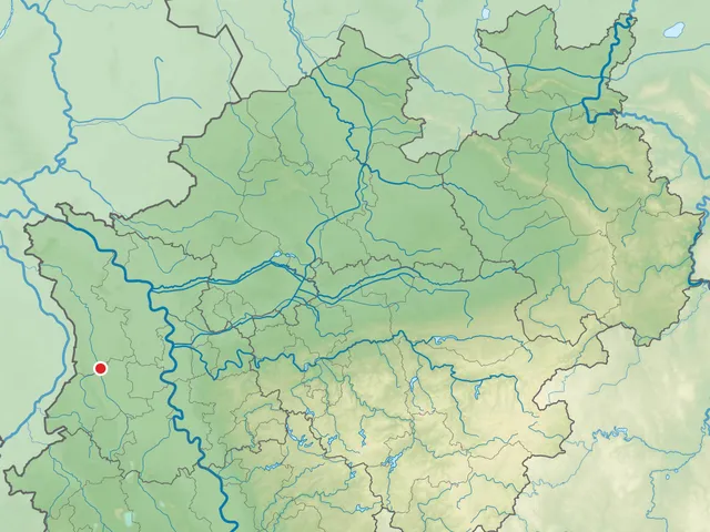
Blue dots: other places nearby — tap to explore.
You might also like — related or nearby
Comments
- Loading comments…
Sources & links
Auto-generated, last verified: 2026-07-03
How this page is made
This page draws on open sources — Wikipedia, Wikidata, official websites and the city’s open data. Every statement is checked against the sources linked here, and pages are refreshed regularly.
Spotted a mistake anyway? Tell us below — we read every submission.