Wachtendonk Boat Landing
A public boat landing on Moorenstraße in Wachtendonk, popular with paddlers: guests say it's easy to spot from the water and well suited for canoes and similar boats.
Tucked into the municipality of Wachtendonk, this small jetty offers boaters a simple place to come ashore.
Source: Google Maps
At a Glance
- Type
- Boat landing / public jetty
- Address
- Moorenstraße, 47669 Wachtendonk
- Location
- Wachtendonk
- Use, according to guests
- Landing with canoes and similar boats
Arriving by Water
If you're travelling by boat, you can moor here. According to guest reviews, the jetty is well suited to canoes and comparable boats. Visitors also report that it is easy to spot from the water and can be approached without difficulty.
The Surroundings
Guests describe the area as scenic and a place where you can find peace and quiet. According to reviews, many walkers pass through, and anglers also make use of the area.
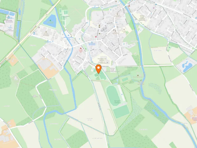
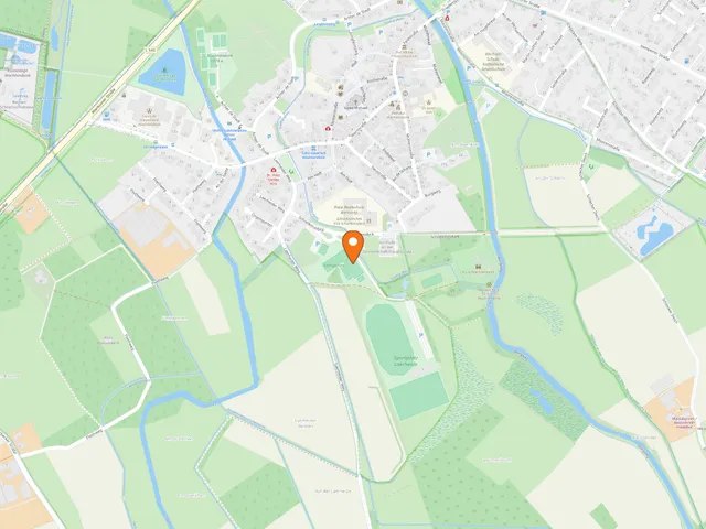
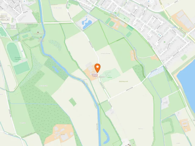
Map
Blue dots: other places nearby — tap to explore.
Address
Moorenstraße
47669 Wachtendonk
Hours
Mo: 08:00–19:00
Di: 08:00–19:00
Mi: 08:00–19:00
Do: 08:00–19:00
Fr: 08:00–19:00
Sa: 08:00–19:00
So: 08:00–17:00
You might also like — related or nearby
Comments
- Loading comments…
How this page is made
This page draws on open sources — Wikipedia, Wikidata, official websites and the city’s open data — plus basic place data and photos from Google Maps where a place is listed there. Every statement is checked against the sources linked here, and pages are refreshed regularly.
Spotted a mistake anyway? Tell us below — we read every submission.