Mud
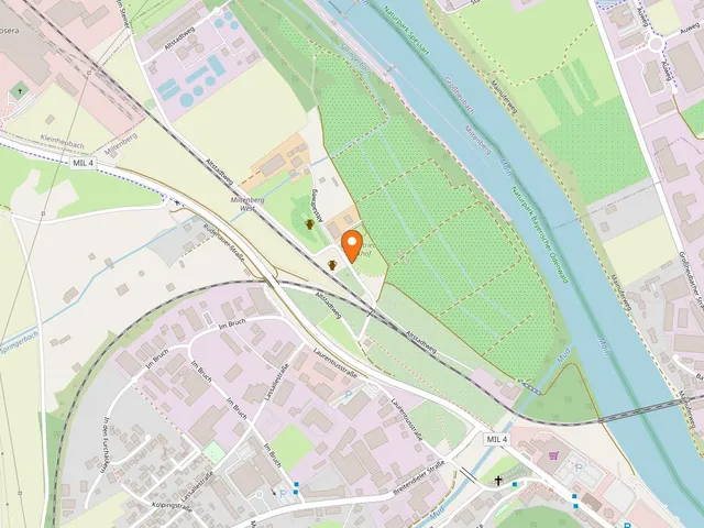
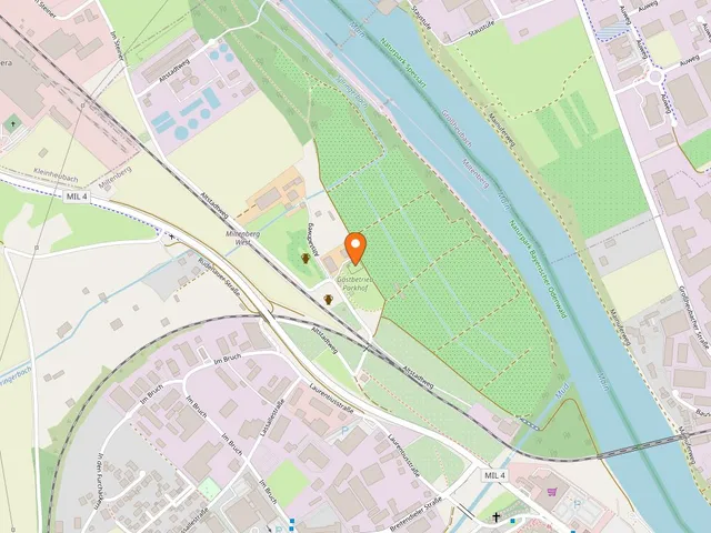
The Mud is a roughly 25-kilometre river rising in the Odenwald that flows into the Main from the left at Miltenberg, right past the Laurentius Chapel.
Its upper reaches are also known as the Mudau or Mudbach. From its source in Baden-Württemberg to its mouth in Bavaria, the small river runs through the sandstone Odenwald.
Source: Wikipedia
At a Glance
- Length
- around 25.4 km
- Source
- eastern Odenwald west of Mudau (Hohenbusch), roughly 500 m above sea level
- Mouth
- into the Main from the left, right behind the Laurentius Chapel near Miltenberg, about 125 m above sea level
- Drop
- around 375 metres (average gradient about 15 ‰)
- Catchment area
- 408.2 km² within the sandstone Odenwald
- Location
- source and upper course in Baden-Württemberg (Neckar-Odenwald district), middle and lower course in the Bavarian district of Miltenberg
Things to do here
Course
The Mud rises in the eastern Odenwald west of Mudau. Its spring has been captured since 1890 and feeds a water reservoir, so the upper course often runs dry and only carries water reliably from the Kneipp treading pool in Mudau onwards. From there the river heads steadily north through the Ünglert valley. East of Kirchzell it takes in the Gabelbach, and at Amorbach, below the Gotthardsberg, its largest tributary the Billbach joins from the right. The Mud then passes through Weilbach and Breitendiel before reaching the Main at Miltenberg, descending some 375 metres along the way.
The Mouth at Miltenberg
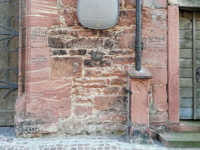
For visitors to Miltenberg it is above all the end of the river that stands out: the Mud flows into the Main from the left immediately after the Laurentius Chapel. The confluence is easy to combine with a stroll along the Main. In the years leading up to its mouth, extensive flood-protection works were carried out just before the confluence, with the bulk completed by the end of 2009.
Nature and Fish
The Mud belongs to the sandstone Odenwald and drains via the Main and Rhine to the North Sea. Its waters are home to many native fish species, including brown trout, brook lamprey, stone loach, minnow, perch, gudgeon, bullhead, pike, rainbow trout and roach. The native noble crayfish also lives here.
History
The watercourse first appears in writing in 1271 as "Mudahe". The name derives from the Germanic word *muda for peaty soil, bog or mud, combined with the old ending -aha meaning "flowing water". Over the centuries numerous mills lined the Mud, harnessing the river's water power.
Map
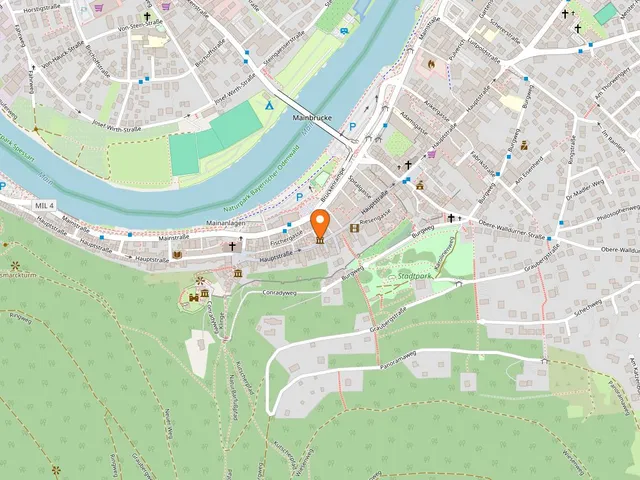
Blue dots: other places nearby — tap to explore.
You might also like — related or nearby
Comments
- Loading comments…
How this page is made
This page draws on open sources — Wikipedia, Wikidata, official websites and the city’s open data. Every statement is checked against the sources linked here, and pages are refreshed regularly.
Spotted a mistake anyway? Tell us below — we read every submission.