Vorster Feld Nature Reserve
A roughly 35-hectare protected area south of Wachtendonk, bordered on its eastern edge by the Niers river.
since 1981
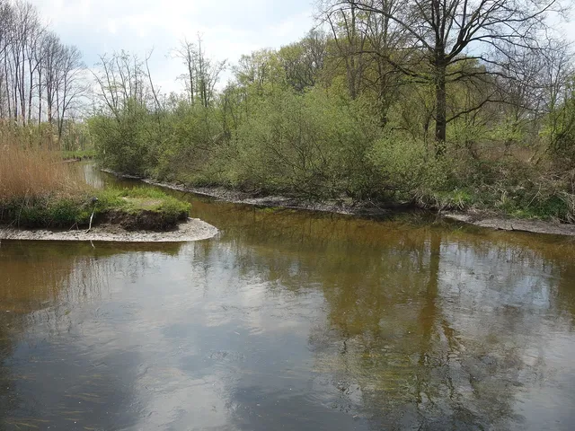
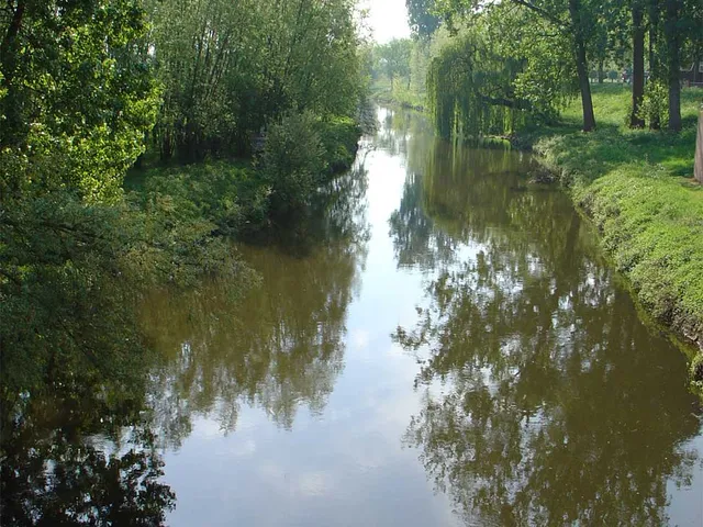
South of the village centre of Wachtendonk in the Kleve district of North Rhine-Westphalia lies the Vorster Feld Nature Reserve. The Niers river flows along its eastern edge.
Source: Wikipedia
At a Glance
- Type
- Nature reserve
- Location
- Municipality of Wachtendonk, Kleve district, NRW
- Size
- approx. 35.0 ha
- Waterway
- Niers river along the eastern edge
Area comparison
Area compared with other Cologne parks and green spaces.
Age comparison
Age compared with other places in Wachtendonk.
Protected Status
The area has been designated a nature reserve for Wachtendonk since 1981. It is listed under the reference number KLE-011 and covers around 35.0 hectares.
Surroundings
The A 40 motorway runs to the north of the reserve. To the south, already within the municipality of Grefrath in the Viersen district, the 191-hectare Grasheide und Mühlhausener Benden nature reserve adjoins it. Not far to the southeast stands Mariendonk Abbey, a Benedictine convent.
Map
Blue dots: other places nearby — tap to explore.
You might also like — related or nearby
Comments
- Loading comments…
Sources & links
Auto-generated, last verified: 2026-07-03
How this page is made
This page draws on open sources — Wikipedia, Wikidata, official websites and the city’s open data. Every statement is checked against the sources linked here, and pages are refreshed regularly.
Spotted a mistake anyway? Tell us below — we read every submission.