Heronger Buschberge, Wankumer Heide Nature Reserve
Forest-rich reserve with pristine spring-fed streams, linking the Krickenbecker Seen lakes to the middle Niers valley.
since 1938
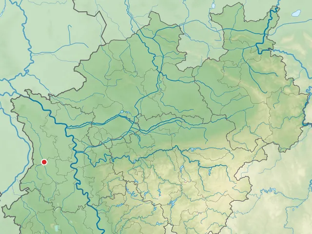
The Heronger Buschberge, Wankumer Heide nature reserve lies on land belonging to the town of Straelen and the municipality of Wachtendonk in the Kleve district of North Rhine-Westphalia. It is made up of three separate sections.
Source: Wikipedia
At a Glance
- Type
- Nature reserve (identifier KLE-009)
- Location
- Straelen and Wachtendonk, Kleve district, NRW
- Size
- 613.1 hectares
- Protected since
- 1938
- Structure
- three sub-areas
Area comparison
Largest park in Wachtendonk
Area compared with other Cologne parks and green spaces.
Age comparison
Age compared with other places in Wachtendonk.
Location and Surroundings
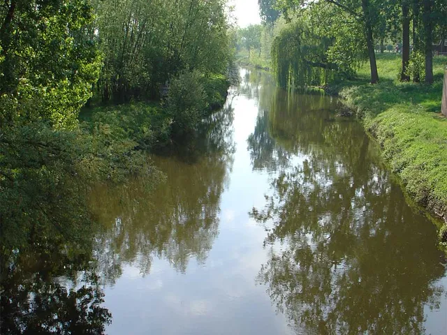
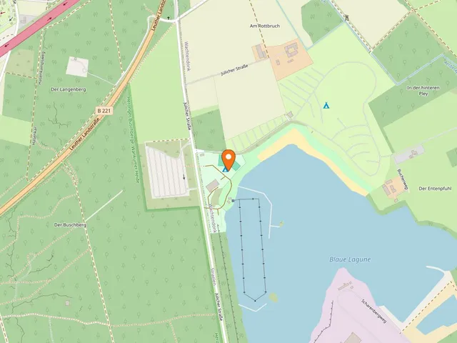
The reserve lies southeast of Herongen, a village belonging to Straelen. The B 221 road runs along its western edge, close to the national border with the Netherlands, while the A 40 motorway passes to the north. The Nordkanal canal cuts through the area, and the Nette stream flows just to the south. Directly to the west lies the adjoining 211-hectare Heronger Heide nature reserve.
Conservation Purpose
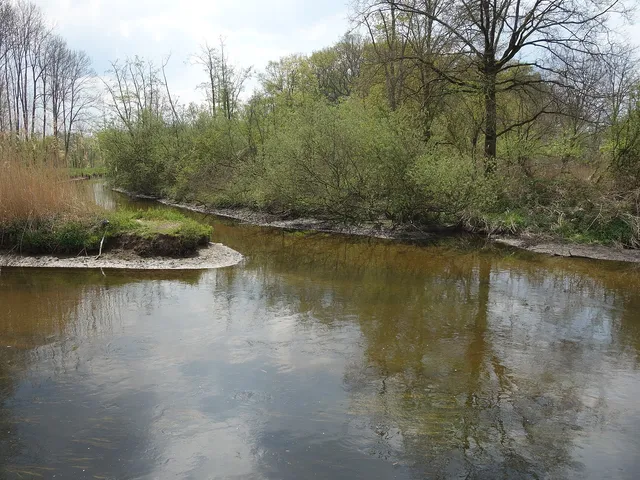
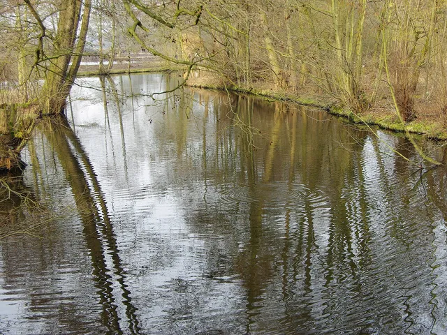
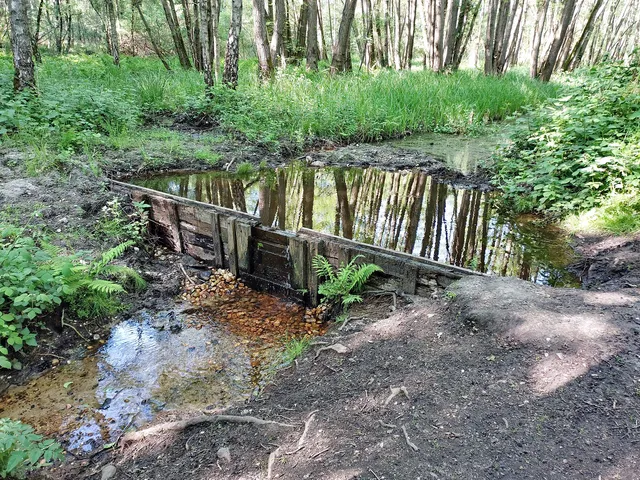
The protected status aims to preserve and enhance the undergrowth- and herb-rich, in places damp, forest complexes of the Wankumer Heide and the Heronger Buschberge. This includes the largely unpolluted spring-fed streams Schürkesbach, Weyersbach, and Römerbach, which remain in a near-natural state.
Habitat Connectivity
The reserve serves as an ecological corridor between the Krickenbecker Seen nature reserve in the neighbouring Viersen district and the middle Niers river valley. Open, woodland-free islands and surrounding areas that shape the local habitats are also included within its boundaries.
Gallery
Map
Blue dots: other places nearby — tap to explore.
You might also like — related or nearby
Comments
- Loading comments…
Sources & links
Auto-generated, last verified: 2026-07-03
How this page is made
This page draws on open sources — Wikipedia, Wikidata, official websites and the city’s open data. Every statement is checked against the sources linked here, and pages are refreshed regularly.
Spotted a mistake anyway? Tell us below — we read every submission.