Römerbach (Wankumer Heide)
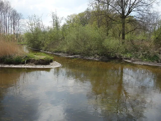
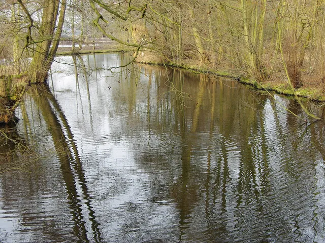
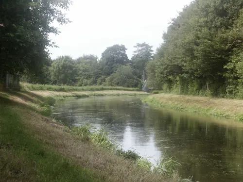
A spring-fed stream named after a former Roman camp where a horse-changing station operated between the 1st and 4th centuries.
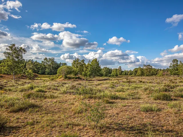
The Römerbach does not yet appear on 19th-century maps. Its present course was shaped by the land improvement of the Wankumer Heide at the beginning of the 20th century.
Source: Wikipedia
At a Glance
- Type
- Spring-fed stream
- Length
- About one kilometer
- Location
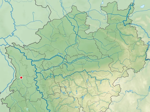
- Wankumer Heide nature reserve near Wankum (Wachtendonk), North Rhine-Westphalia, east of the Heronger Buschberge
- Flow direction
- South-southeast
- Mouth
- Into the Schürkesbach, which flows into the Nette near the Flootsmühle after another 100 meters
- Of note
- Visible excavations of the “Grand Canal du Nord” nearby
Less than 150 metres from where the Römerbach now joins the Schürkesbach, Napoleon had a 16-metre-wide canal (the "Grand Canal du Nord") dug in 1808–1810 to link the Rhine and the Meuse; the project was abandoned on 1 January 1811, and the excavations are still visible today.
A Name from Roman Times
The stream owes its name to a former Roman camp located not far from its course. At some point between the 1st and 4th centuries, a horse-changing station stood there. Since the 19th century, water pipes, tiles stamped by the 30th Legion and shards of terra sigillata pottery have come to light at the site. Coins, oil lamps, statuettes and everyday objects made of iron and bronze also attest to the station.
Napoleon's Abandoned Canal
Less than 150 meters below the present-day confluence with the Schürkesbach, digging took place from 1808 to 1810. The plan, initiated by Napoleon, was for a waterway between the Rhine and the Meuse, 16 meters wide and 2.60 meters deep. The project was abandoned as early as 1 January 1811. The excavations are still recognizable today and are partly filled with water, but there is no direct connection to the Nette.
Spring and Alder Carr
The entire stream runs through an alder carr bounded by Jülicher Straße, Scharenbergweg and Schnirpweg. Extensive waterlogging can be observed at the seepage spring. Sands and gravels conduct the groundwater, while Tertiary silts and fine sands hold it back.
Reclaiming the Heath
Between 1903 and 1907, the overly wet, nutrient-poor farmland of 172 landowners was to be improved over roughly 400 hectares. Ditches drained the land and paths, and the excavated material was used to raise the paths. On some plots a steam plow broke through the impermeable layer at a depth of 50 to 70 centimeters, future meadows were worked with a horse-drawn plow, and the extremely wet areas were dug by hand with spades.
Labor and Consequences
Because farm laborers were scarce, 60 prisoners from the penitentiary in Werden and 45 so-called Korrigenden, inmates of the Rhenish Provincial Workhouse at Brauweiler, took part. For good performance, the Korrigenden received a “bacon supplement” to their rations once or twice a month. The land subsequently gained considerably in value, which was also reflected in lease prices, and two farmers built new farmsteads.
Timeline
- 1.–4. JahrhundertRoman horse-changing station near the later Römerbach
- 1808–1810Excavation work for the 'Grand Canal du Nord' (Rhine–Meuse)
- 1811Canal project abandoned on 1 January
- 1879Law on forming water cooperatives (1 April)
- 1903–1907Land improvement (melioration) of the Wankumer Heide
Map
Blue dots: other places nearby — tap to explore.
You might also like — related or nearby
Comments
- Loading comments…
Sources & links
Auto-generated, last verified: 2026-10-10
How this page is made
This page draws on open sources — Wikipedia, Wikidata, official websites and the city’s open data. Every statement is checked against the sources linked here, and pages are refreshed regularly.
Spotted a mistake anyway? Tell us below — we read every submission.