Schlootkuhlen Nature Reserve
At just over 62 hectares the largest of these Kempen reserves, situated northwest of the town centre between the A 40 and the Niers, protected since 1989.
since 1989
The Schlootkuhlen nature reserve is located northwest of the town centre of Kempen in the district of Viersen and, with its Y-shaped floodplain landscape, extends into the neighbouring district of Kleve.
At a Glance
- Type
- Nature reserve (identifier VIE-025)
- Area
- approximately 62.13 ha in two sub-areas
- Designation
- since 1989
- Location
- northwest of Kempen, district of Viersen (NRW)
- Responsibility
- Bezirksregierung Düsseldorf
- Special feature
- part of the biotope network between the Schleckniederung, Niersaue and Rahmsümpfe
Area comparison
Area compared with other Cologne parks and green spaces.
Age comparison
Age compared with other places in Kempen.
Location
The area extends from the north of the district of Viersen into the district of Kleve. To the north runs the A 40 motorway, to the east the Landesstraße L 362 borders the area, while in the western part the L 361 passes through. The Niers flows to the west. Characteristic is the lowland of the Landgraben, which is structured by clearly formed break edges.
Waters and Landscape
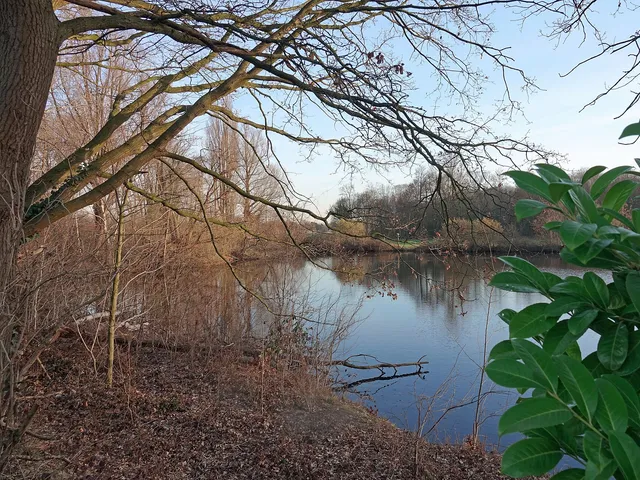
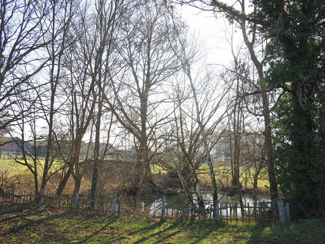
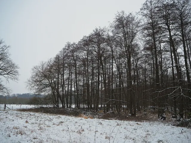
The floodplain is crossed by several watercourses: in the east by the Springbach, in the west by the Landgraben and in the northwest by the Niersgraben. The path at Haus Velde marks the watershed between the Springbach and the Landgraben. Riparian woody vegetation of Black alder, Ash and Poplar shades the streams, which are correspondingly poor in aquatic plants. Characteristic is a chain of pits that once formed through peat extraction; they are silted up to varying degrees and nutrient-rich, mostly have steep banks and are frequently overshadowed by Grey willow scrub. Reed belts occur only sporadically; larger reed areas are found "Hinter Fückers" as well as northeast of "Haus am Feld". Between the waters lie small patches of woodland, grassland and individual farmsteads; part of the areas is used privately or for angling.
Conservation Objective and Habitats
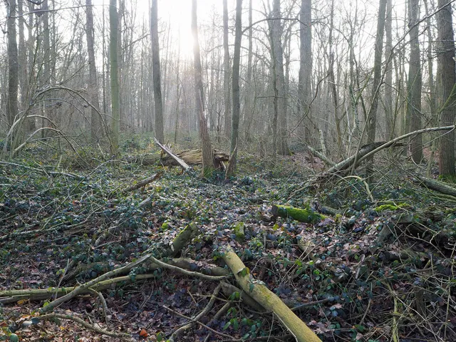
The conservation aims to preserve the landscape-defining Landgraben lowland with its alternation of open water surfaces, silting-up zones, deciduous woodlands and moist grassland, structured by rows of trees, individual trees and groups of trees. Open water surfaces, reed beds, alder carrs, old-growth timber stands, meadows, pastures as well as wasteland and fallow areas are to be preserved as habitat for endangered small mammals, birds, amphibians and arthropods. A further concern is the restoration of near-natural waters, reed beds and carrs. As an ecological guiding line, the area connects the Schleckniederung and the Niersaue with the Rahmsümpfe.
Fauna and Flora
Among the birds, Lesser Spotted Woodpecker, Little Owl, Common Pochard, Kingfisher and Northern Goshawk have been recorded, some as breeding birds. The bats occurring here include Daubenton's bat and Common pipistrelle. Among the plants, endangered species such as Marsh fern and Bank sedge are documented.
Gallery
Map
Blue dots: other places nearby — tap to explore.
Address
Nikolausweg 15
47906 Kempen
Hours
So: 00:00–24:00
You might also like — related or nearby
Comments
- Loading comments…
Sources & links
- Wikidata (retrieved 2026-07-09)
- Wikipedia (retrieved 2026-07-09)
- nsg.naturschutzinformationen.nrw.de (retrieved 2026-07-10)
Auto-generated, last verified: 2026-07-10
How this page is made
This page draws on open sources — Wikipedia, Wikidata, official websites and the city’s open data. Every statement is checked against the sources linked here, and pages are refreshed regularly.
Spotted a mistake anyway? Tell us below — we read every submission.