Tote Rahm Nature Reserve
Roughly 98-hectare fen and wet-woodland reserve, protected since 1929, between St. Hubert and Tönisberg.
since 1929
Tote Rahm is a nature reserve of around 98 hectares within the municipality of Kempen, first placed under protection back in 1929. As an expansive complex of fen and wet woodland, it today forms part of the European Natura 2000 network of protected sites.
At a Glance
- Type
- Nature reserve (fen and wet-woodland complex)
- Area
- roughly 98 hectares (98.53 ha)
- Protected since
- 1929
- Location
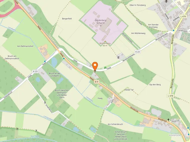
- in the Schadbruch area between the districts of St. Hubert and Tönisberg
- Reserve code
- VIE-002
- Protection status
- SAC habitat site (DE-4504-302), part of Natura 2000
- Neighbours
- Orbroich reserve (Krefeld) to the east, Elsdonker Rahm to the west
Area comparison
Largest park in Kempen
Area compared with other Cologne parks and green spaces.
Age comparison
Age compared with other places in Kempen.
Origins
Geologically, Tote Rahm traces back to a fen roughly 10,000 years old that formed after the last ice age. It was once known as the wettest bog around St. Hubert — so waterlogged that the full drainage carried out elsewhere never succeeded here.
How It Got Its Name
The label "dead" (tot) comes from its economic past: because the swampy ground could not be used and was therefore considered "worthless," people spoke of the Tote Rahm long ago. Several old field names in the area still recall this history.
The Landscape
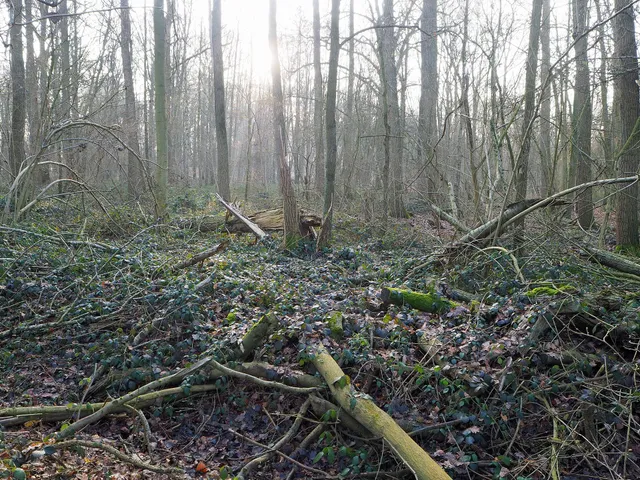
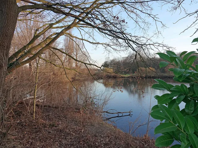
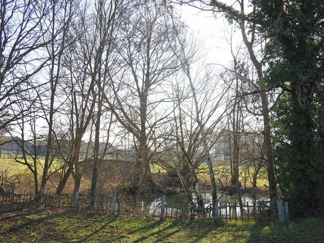
Today the site appears as a richly structured wet woodland with several nutrient-poor, lime-rich bodies of water. Especially noteworthy are the stonewort vegetation, surviving remnants of great fen-sedge reedbeds, and extensive alder-ash floodplain forests lining the streams.
Protection and Ownership
Apart from three smaller edge areas, the reserve largely coincides with the slightly smaller SAC habitat site of the same name, which makes it part of the Natura 2000 network. The land is owned in part by the town of Kempen and the district of Viersen, and in part by several farmers and private individuals.
Challenges
Since the early 20th century the groundwater level has dropped by up to two metres. As a result, tree roots now lie exposed and dry in places — a tangible change for an area that owed its character to wetness for thousands of years.
Map
Blue dots: other places nearby — tap to explore.
Hours
So: 00:00–24:00
You might also like — related or nearby
Comments
- Loading comments…
Sources & links
Auto-generated, last verified: 2026-07-09
How this page is made
This page draws on open sources — Wikipedia, Wikidata, official websites and the city’s open data. Every statement is checked against the sources linked here, and pages are refreshed regularly.
Spotted a mistake anyway? Tell us below — we read every submission.