Römerschanze
The Römerschanze – officially the earthwork "Ohrenbacher Schanze" and locally also called Heunenschüssel or Vielbrunner Schanze – is a prehistoric or early-medieval rampart enclosure on the Geißberg ridge above the Ohrenbach valley. Whether the rectangular earthwork dates from Roman or early-medieval times remains an open question to this day.
The Römerschanze is a rectangular earthwork with encircling ramparts and a ditch, hidden in the forest on the Geißberg. It carries several names – besides the popular "Römerschanze" (Roman rampart) it is officially recorded as the earthwork "Ohrenbacher Schanze" and is also known locally as Heunenschüssel or Vielbrunner Schanze.
At a Glance
- Type
- Rectangular rampart enclosure (earthwork) with rounded corners
- Location
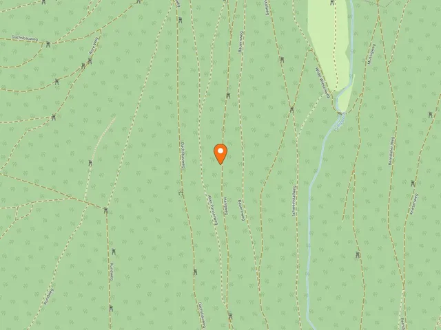
- Geißberg ridge above the Ohrenbach valley, on the border between Hesse (Vielbrunn/Bremhof) and the town of Miltenberg (Rüdenau district)
- Dimensions
- about 88.6 × 76.5 m (ditch to ditch) or 77.3 × 66 m (rampart to rampart)
- Dating
- Roman or early medieval – not firmly established
- Heritage protection
- archaeological monument D-6-6220-0003 (Bavarian monument list)
- Excavations
- trial trenches in 1912/1913 by Georg Hocks
- Finds
- exclusively Roman pottery of the 2nd century
Setting
The earthwork lies along an old ridgeway that accompanies the Main valley, running over the crest from Bremhof via Mainbullau to Miltenberg in a northwest–southeast direction. Just a few metres to the west, at the saddle of the Geißberg with the Lauseiche natural monument, several old tracks cross in a north–south direction. These once linked Laudenbach on the Main limes with the Ohrenbach valley and traverse the still wooded and thinly settled plateau between the Ohrenbach (locally Ohrnbach) and the Main.
Structure
The fortification is laid out as a rectangle with distinctly rounded corners. As early as 1813, Johann Friedrich Knapp measured its sides at roughly 66 metres east–west and about 58.5 metres north–south. A ditch about 1.5 metres deep encloses three earthen ramparts around three metres high: two outer ones and an inner one. In the middle of the eastern short side there is an inward-drawn pincer gate (Zangentor) about 3.50 metres wide; at this eastern gate the ditch is interrupted. The interior, divided by a small cross-ditch, still preserves the remains of a well that was additionally protected by its own fully encircling rampart-and-ditch system. Modern surveys of the terrain relief in the Bayernviewer yield slightly larger figures than Knapp and place the enclosure on a par with the forts of the Odenwald limes – it turns out even marginally larger than, for example, the Eulbach fort.
History & Excavations
Johann Friedrich Knapp described the earthwork at the latest in 1813 and made it a matter of record; in 1900 it was included in the German limes survey (Limeswerk). In 1912/1913 Georg Hocks investigated the site with trial trenches and soundings, which yielded exclusively Roman pottery of the 2nd century. Two of his trenches at the cross-ditch are still discernible in the terrain relief today.
Interpretation & Function
The location between the two limes lines is untypical for a Roman fortification, which means a Roman origin cannot be regarded as certain. In 1984 Dietwulf Baatz did not rule out a Roman origin but called for further investigation. Its size, rounded corners and pincer gate do recall the limes forts – only the inner ditch is unusual. In more recent times it has again been increasingly discussed whether the earthwork served as an outpost of the Odenwald limes to watch over the ridgeway, or as a work camp and timber-cutting site. It is conceivable that Roman logging detachments felled construction timber in the Odenwald for larger settlements such as Mogontiacum (present-day Mainz), because not enough material was available in that town's surroundings; the timber could be floated conveniently down the Main to the Rhine. In his 1995 dissertation, Theodor K. Kissel even described the earthwork as a timber-processing operation. Four inscribed stones from the forts of Trennfurt, Obernburg and Stockstadt are cited in support; they are said to derive from detachments of Legion XXII Primigenia stationed at Mogontiacum and are dated to the years 206 to 214 AD. The strikingly rectangular Trennfurt fort is in turn regarded as a possible depot and loading point on the Main.
Heritage Protection
In the Bavarian monument list of the Bavarian State Office for the Preservation of Monuments, the site is recorded under number D-6-6220-0003 as a qualified archaeological monument – the earthwork "Ohrenbacher Schanze" of late-imperial or early-medieval date. Deliberate investigation and the collecting of finds require official permission, and chance finds must be reported to the heritage authorities.
Map
Blue dots: other places nearby — tap to explore.
You might also like — related or nearby
Comments
- Loading comments…
Sources & links
- openstreetmap.org (retrieved 2026-07-13)
- Wikipedia (retrieved 2026-07-21)
Auto-generated, last verified: 2026-07-21
How this page is made
This page draws on open sources — Wikipedia, Wikidata, official websites and the city’s open data. Every statement is checked against the sources linked here, and pages are refreshed regularly.
Spotted a mistake anyway? Tell us below — we read every submission.