Schürkesbach
A roughly two-kilometre spring-fed stream in the Wankum Heath, home to protected river lamprey and stone loach — plus traces of a Roman waystation.
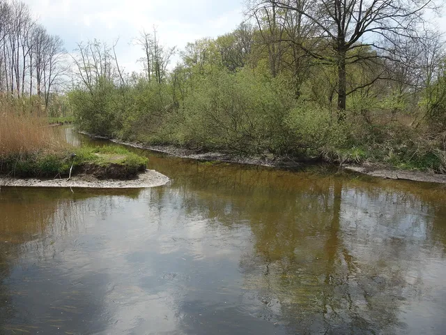
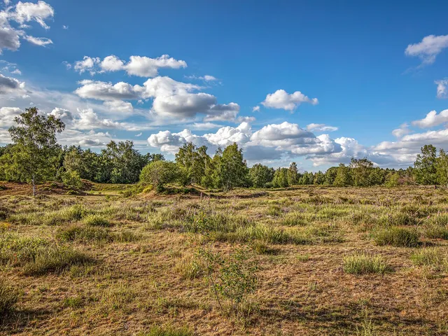
The Schürkesbach, also known as the Schürkesbeek, is a spring-fed stream about two kilometres long in the Wankum Heath near Wankum in North Rhine-Westphalia. It flows east of the Heronger Buschberge through an alder carr woodland.
Source: Wikipedia
At a Glance
- Type
- Spring-fed stream, also called Schürkesbeek
- Length
- approx. two kilometres
- Location
- Wankum Heath nature reserve near Wankum, North Rhine-Westphalia
- Surroundings
- Alder carr woodland, bounded by Jülicher Straße, Scharenbergweg and Wolfsgrabenweg
- Confluence
- Flows into the Nette, close to the Flootsmühle
- Notable for
- Protected fish species and Roman-era finds
Course
The original spring can no longer be pinpointed today, though its former location is documented on a map from the early 20th century; only a large area of waterlogged ground now marks the spot. A defined streambed only becomes visible where the water collects behind a roughly 60 cm-high weir made of wooden planks, running parallel to the Schürkesweg. The stream passes beneath the Schnirpweg, absorbs the Römerbach, and then flows in a straight line into the Nette.
Protected Species
Surveys in 2012 recorded the stone loach, listed on North Rhine-Westphalia's Red List, along with a substantial population of the river lamprey — protected under the EU Habitats Directive — just before the stream joins the Nette. These findings confirm the good water quality of this largely unspoiled stream. Stone loach, chub, European perch, tench, and both nine-spined and three-spined stickleback have also been recorded here.
Roman Era
The spring likely supplied water to a nearby Roman camp as early as Roman times, close to which stood a horse-changing station. Since the 19th century, excavations here have uncovered water pipes, bricks stamped with the mark of the XXX Legion, and fragments of terra sigillata pottery. Finds of everyday objects, coins, oil lamps and statuettes show that the station was in use between the 1st and 4th centuries.
Grand Canal du Nord
Less than 100 metres below the present-day confluence, excavation work for an artificial waterway took place between 1808 and 1810. Commissioned by Napoleon, the "Grand Canal du Nord" was intended to link the Rhine with the Meuse via a channel 16 metres wide and 2.6 metres deep, but the project was halted on 1 January 1811. The excavated sections are still visible today, partly filled with water, though they have no direct link to the Nette.
Good to Know
The name Schürkesbeek derives from Low German, in which "Beek" means stream. The nearby Beekerstraße in Herongen takes its name from the same source.
Map
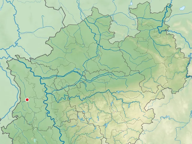
Blue dots: other places nearby — tap to explore.
You might also like — related or nearby
Comments
- Loading comments…
Sources & links
Auto-generated, last verified: 2026-07-03
How this page is made
This page draws on open sources — Wikipedia, Wikidata, official websites and the city’s open data. Every statement is checked against the sources linked here, and pages are refreshed regularly.
Spotted a mistake anyway? Tell us below — we read every submission.